Welcome to LandIS
LandIS - Land Information System
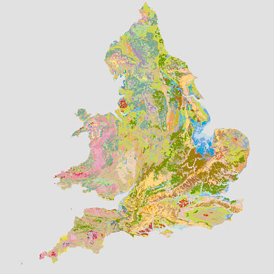
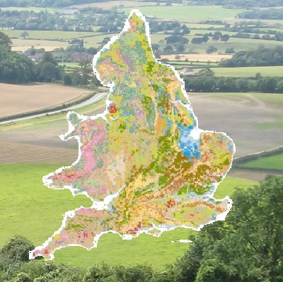
A soils-focussed information system for England and WalesLandIS, the “Land Information System”, is a substantial environmental information system operated by Cranfield University, UK, designed to contain soil and soil-related information for England and Wales including spatial mapping of soils at a variety of scales, as well as corresponding soil property and agro-climatological data. LandIS is the largest system of its kind in Europe and is recognised by UK Government as the definitive source of national soils information.

LandIS Soil Data
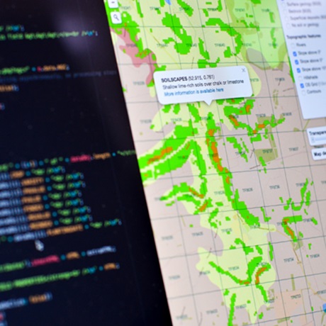
Soilscapes Viewer
0
Soil Samples
0
Soil Profiles
0
Soil Observations
Accessing Our Data
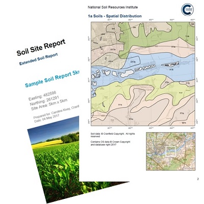
Soil site reports
The “Soils Site Reporter” is an easy-to-use, online soil reporting tool which produces site-specific soils information with maps and soil descriptions.
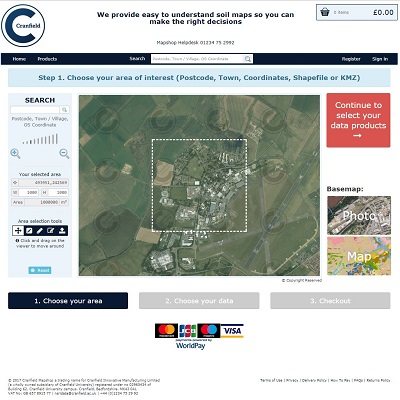
Cranfield Mapshop
Download soils data for use in your GIS application
Soil Data Lease
For more complex soil data licences or data for larger areas (>10,000km2) consult the LandIS team
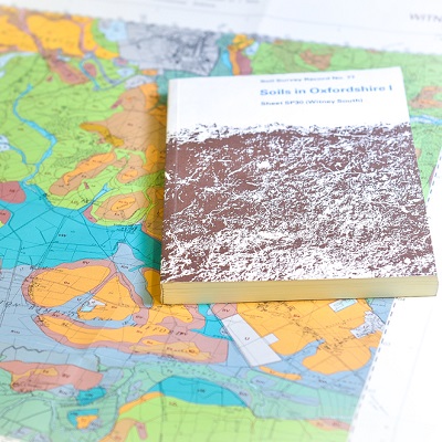
Publications
LandIS
First commenced in the 1970’s, Cranfield University’s Land Information System (LandIS) has provided the basis and repository for holding the digital representation of the soils information collected for England and Wales over the past 60-70+ years. This soil portal provides you with a range of means to access this information. Cranfield is recognised by Defra as providing the National Reference Centre for Soils, and we apply the information and knowledge encapsulated in LandIS to address the broad range of application areas outlined on this website.
Linked web resources


Hosted at Cranfield University, UK
As the UK’s only exclusively postgraduate university, Cranfield University’s world-class expertise, large-scale facilities and unrivalled industry partnerships is creating leaders in technology and management globally. Environment and Agrifood For 50 years, Cranfield has been contributing to enhancing natural capital and ensuring that global food systems are more resilient for the future. We are recognised worldwide by industry, government and academe for our research and teaching in plants, soil, water and air. Soil science Our research spans from basic aspects of soil physics, chemistry and biology to soil resource evaluation, sustainable soil management, soil conservation and land restoration.
Queen's Anniversary Prize
Cranfield University is delighted to announce that, for the fifth time in its history, it has been the proud recipient of a prestigious Queen’s Anniversary Prize, in recognition of research and education in large-scale soil and environmental data for the sustainable use of natural resources in the UK and worldwide. Cranfield is one of only eight institutions to have won the award on five or more separate occasions. This is the first time in the Prize’s history that an award has been given for soil science. Cranfield University’s world-class expertise, large-scale facilities and unrivalled industry partnerships is creating leaders in technology and management globally. Our prize was made ‘In recognition of research and education in large-scale soil and environmental data for the sustainable use of natural resources in the UK and worldwide’. The WOSSAC Archive and related soil facilities played a critical part in this success story for the University.

About Us
LandIS, or the Land Information System is one of the offerings of the Cranfield Environment Centre (CEC). Incorporating the National Soil Resources Institute, we are the largest UK national and international centre for research and development, consultancy and training in soils and their interaction with the atmosphere, land use, geology and water resources.
Cranfield Environment Centre
Cranfield University
Bullock Building (B53)
Cranfield campus
Cranfield
MK43 0AL
(01234) 752992

Cookies: This site uses cookie. No personal information is gathered or held. You will need to enable cookies for this site to operate correctly.