National Soil Map of England and Wales - NATMAP
NATMAP Soilscapes®
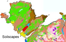
National Soilscapes Map
NATMAP Soilscapes is a popular product derived from the National Soil Map. It seeks to provide a useful, concise, easily interpreted and applicable description of the soils of England and Wales. However, unlike NATMAP vector, NATMAP soilscapes cannot be customised with non-spatial data like SOILSERIES.
Key Facts and Statistics about NATMAP soilscapes
- Simplified rendition of the national soil map;
- About 30 distinct soil types
Who and what is this useful for?
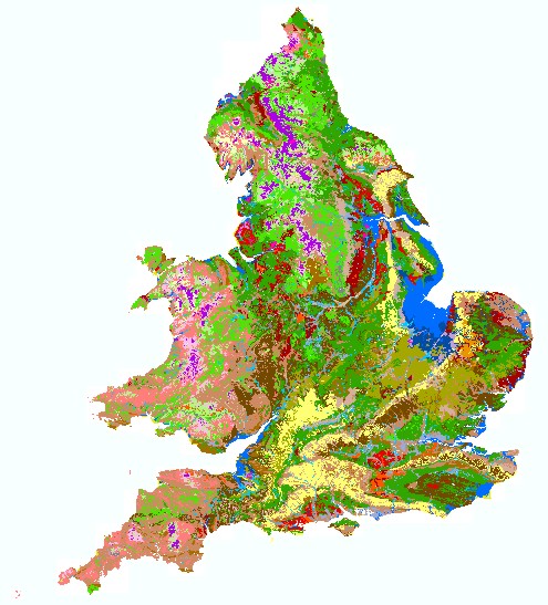
NATMAP soilscapes is useful for anyone wanting generalised and simple-to-understand soil information at a 1:250,000 scale.
Conservationists, naturalists and those concerned with whole eco-system dynamics will find this data very useful, as will city, county and district councils.
How much does this product cost?
- £250 per 1,000 km2.
- Significant discounts apply for larger areas.
For detailed pricing information, use our Quotation Advisor utility.
NATMAP Soilscapes data and description
To view the legend for NATMAP soilscapes, click here.
The table below describes the various properties within this data product. Each polygon contains the information outlined below.
| Property | Example from data | Description |
|---|---|---|
| SOIL | Shallow very acid peaty soils over rock | General description of the soil |
| TEXTURE | Peaty | General description of the texture of the soil |
| DRAINAGE | Variable | General description of the drainage of the soil |
| FERTILITY | Very low | General description of the fertility of the soil |
| LAND_COVER | Open moor | General description of the expected land cover types for this type of soil |
| HABITATS | Rugged wet heather and grass moor with bare rock, and bog vegetation in hollows | General description expected habitats for this type of soil |
| SHAPE | 2 | Feature ID code which links with the spatial description of the data within a geodatabase |
