Soils guide
Use this interactive guide to explore the various soils of England and Wales. You can use the tool to 'drill down' into the various recognised soils categories to understand their composition and properties.
Certain characteristics of soil series and soil associations are likely to be significant to the outcome of environmental and engineering projects. Each soil series and association links to the relevant Soil Alerts. For more information on Soil Alerts look here.

Soils association definitions
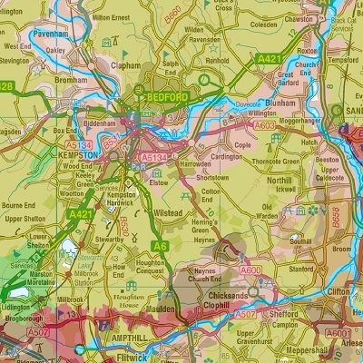
Browse the 296 geographic soil associations identified in England and Wales
See MoreSoil series
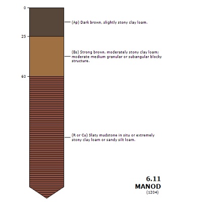
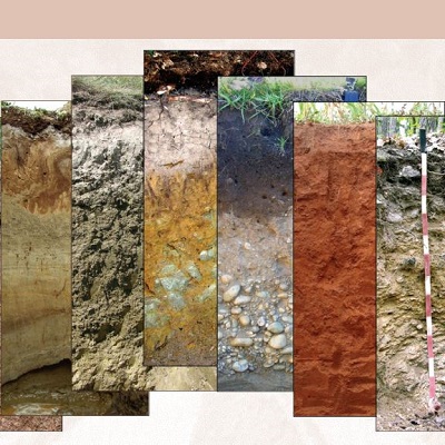
Soil profile characteristics are used to define soils at four levels in a hierarchical system, general characteristics being used at the highest level to give broad separations and more specific ones at lower levels to give increasingly precise subdivisions. The four categories are, in descending order, major group, group, subgroup, and series; the lower the category, the more precise is its definition. At major group level, divisions are based on the predominant pedogenic characteristics of the soil profile Soil groups and subgroups are subdivisions based on features which further define the inherent characteristics of the soil material, or modify the basic pedogenic characteristics recognized at major group level. A soil series, the lowest category in the system, is a subdivision of a subgroup based on precisely defined particle-size subgroups, parent material (substrate) type, colour and mineralogical characteristics (Clayden and Hollis, 1984).
Soil associations
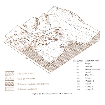
The National Soil Map shows 296 geographic soil associations identified by the most frequently occurring soil series and by combinations of ancillary series. The map units are further identified by number codes and are coloured by dominant soil subgroups (or groups), of which sixty seven are recognised. The numbers of each code indicate the predominant major soil group, group and subgroup. Thus, association 651a is dominated by soils of the Belmont series belonging to subgroup 6.51, the Ironpan subdivision of soil group 6.5, Stagnopodzols which are part of major group 6, Podzolic soils. Soil Associations in capital letters are named after the soil series or groups that, with similar soils, form extensive, often dominant, components of most delineations. More variable associations are shown in lower case letters; they have a number of inextensive and dissimilar soils and are named after the Series which characterise them best.
Soilscapes
Soilscapes are a simplified reclassification of the Soil Associations for the non-soil specialist. Soilscapes defines 27 soil map units, each fully described with a range of valuable attributes. The aim of this reclassification and simplification is to provide applicable, understandable and therefore, useful, soil information.
World reference base
The World Reference Base (2006) has 32 Reference Soil Groups (RSG) and thirteen of these are recognised in England and Wales. This guide details these 13 RSG and how they correlate to the National Soil Associations in England and Wales.
For more information on WRB see IUSS Working Group WRB. 2006. World Reference Base for Soil Resources. World Soil Resources Report No 103. FAO Rome.


