LandIS in use
LandIS - Land Information System
the appliance of technology to the needs of the environment and agriculture

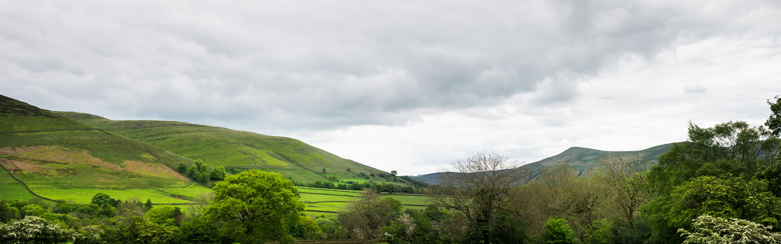
Increasing importance is placed on the need to match properties of the land with its use and management to ensure economic and environmental sustainability - the future of the world depends on it!
To deal soundly with problems and issues as they arise requires the availability of information, and the ability to integrate and manipulate different sources of data and output which is easily understood. LandIS fulfills these needs.
As global pressures for responsible land use increase, the data contained in LandIS and the skills aquired in its development and management are of paramount importance. Cranfield's Environment Centre (CEC), responsible for LandIS, have considerable expertise in:
- Building and managing complex land databases;
- Developing information sytems overseas;
- Providing training in the development and use of computerised information systems; and
- Data leasing.
What you need to know about LandIS
A wealth of on-line environmental information at your fingertips
Land monitoring and data collection have been pursued worldwide for many decades. Most of this information has tended to be stored away in different reports, in different filing cabinets, in different locations - it is seldom used to anywhere near its full potential. LandIS makes these different sources of information available quickly and efficiently, access being offered either on-line, as data lease packages, or as consultancy services. CEC has a wide range of GIS-based application developments using LandIS data both alone and in combination with client data. Application areas include:
- Integrated strategy for future land use;
- Risks to the environment;
- Suitability of land for existing and novel crops;
- Land management techniques;
- Suitability of land for non-agricultural use;
- Hydrological processes; and
- Environmental impact assessment.
Indeed the “tree” of LandIS-related applications is extremely broad:

LandIS is the core data management system, running on powerful servers in Cranfield University's data centre, operating via relational database management systems (RDBMS) and related geographical information systems (GIS - together comprising a unique national environmental Spatial Data Infrastructure (SDI) for England and Wales. LandIS incorporates many technological components, including:
- Expert Systems;
- Automated Cartography;
- Geographical Information Systems;
- Data Visualisation;
- Simulation Models and machine learning; and
- Statistical Interpretations.
These facilities provide LandIS with the flexibility to address an increasingly wide range of issues for a broad user-base nationally and internationally. This is because, although LandIS was established to handle land-related information for England and Wales, the principles of the system are applicable globally. We are engaged in the development of environmental information systems in several parts of the world, tailoring each system to the needs tof the country in question. The principles of LandIS have therefore been exported through a process of consultancy and technology transfer to a number of countries including: Venezuala, Turkey, Jordan, Malta, China and the Republic of Ireland. The LandIS team are also engaged in many European research projects where the principles of LandIS can be applied to many applications concerned with soil threats and ecosystem services and functions.
TopLandIS Users
A broad user-base

LandIS data and information, and associated research and consultancy services have led to a broad user-base from many sectors nationally in England and Wales, and internationally. The following presents a selection of the many clients who have used LandIS:
Agrochemical/Chemical sector
AgrEvo UK Ltd
Agrisearch
BASF
Bayer AG
Ciba Geigy
Corning Hazleton
Dow Agrosciences
Dow Elanco
Huntingdon Life Science
Monsanto
Rhone-Poulenc
Ricerca Inc
Utilities
Essex & Suffolk Water
London Electricity
National Grid
Severn Trent Water
Southern Water
Thames Water Utilities
Yorkshire Water
Southern Water
South West Water
United Utilities
Northumbrian Water
Other private sector
JMP Consultants Ltd
Kampsax International
Lloyds Aviation
Uniroyal
Equifax plc
ADAS Ltd.
Public Sector, Policy
Department of the Environment, Transport and the Regions
Department of the Environment, Food, and Rural Affairs
Environment Agency
European Commission
European Environment Agency
European Union
Isle of Man Government
Meteorological Office
Teeside Development Corporation
Public Sector, Research
Central Science Laboratory
Economic and Social Research Council
Farming and Rural Conservation Agency (Defra)
Home Grown Cereals Authority
Institute of Grassland and Environmental Research
Department of the Environment, Food, and Rural Affairs
Meteorological Research Unit
Natural Environment Research Council – Institute of Terrestrial Ecology
Natural Environment Research Council – Centre for Ecology and Hydrology
EA Technology
Links and Operations in Europe
We have strong links with institutes in most countries of the European Union and has a number of ongoing collaborative research programmes with the European Commission, the European Union and the European Environment Agency. The Institute has worked closely with the soil surveys and soil data centres in the EU for the past 20 years in the development of a harmonised soil database for Europe. This database now contains information on Neighbouring and Accession countries as well as for the Member States. One of our experts was seconded to work in the European Soil Bureau based the EU’s Joint Research Centre in Ispra, Italy, from 1998 to 2000.
NSRI co-ordinated an EU Framework Research Project (Euro 1.5 million) on nitrate modelling and monitoring. This involved 9 institutes in 5 countries and the results have been published by the European Commission as a Soil and Groundwater Research Report. CSAI is also the UK National Reference Centre for Soil, in the network of environmental centres, EIONET, co-ordinated by the European Environment Agency.
Our work overseas

In addition to the work described in the International Project references, we have also forged links with other institutes and undertaken collaborative research and consultancy assignments in Eastern Europe, Mediterranean countries, the Middle East, the Levant, Africa, Asia, South and North America.
Related to this is the World Soil Survey Archive and Catalogue (WOSSAC), maintained at Cranfield. The WOSSAC archive contains hundreds of thousands of soil maps, reports and surveys from over 386 territories worldwide, with the materials being made available for soil-related stakeholders around the world. For more information, please visit the WOSSAC website.
TopAbout Us
LandIS, or the Land Information System is one of the offerings of the Cranfield Environment Centre (CEC). Incorporating the National Soil Resources Institute, we are the largest UK national and international centre for research and development, consultancy and training in soils and their interaction with the atmosphere, land use, geology and water resources.
Cranfield Environment Centre
Cranfield University
Bullock Building (B53)
Cranfield campus
Cranfield
MK43 0AL
(01234) 752992

Cookies: This site uses cookie. No personal information is gathered or held. You will need to enable cookies for this site to operate correctly.