Documents of further interest and relevance

Presented below are a series of freely downloadable resources relating to LandIS and its data holdings:
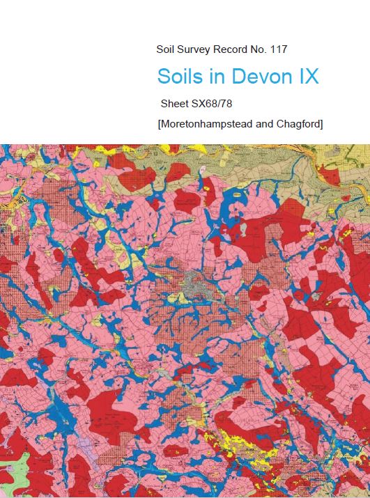
R117 Soils in Devon IX
SX68/78 Moretonhampstead and Chagford
New Soil Survey record sponsored by the Dartmoor Trust.
Download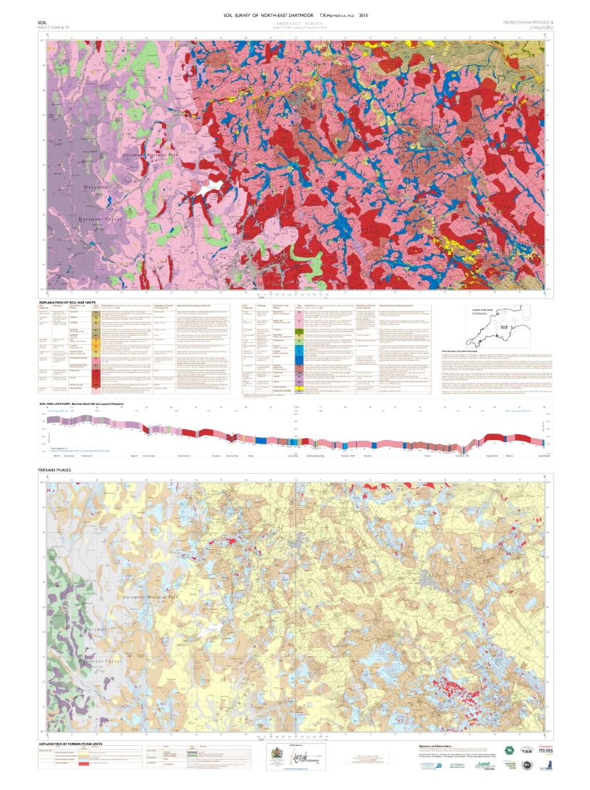
Map to accompany R117 Soils in Devon IX
SX68/78 Moretonhampstead and Chagford
*Note: this download is large in size at approximately 25MB
Download
Soil Information and Data Policy
Download
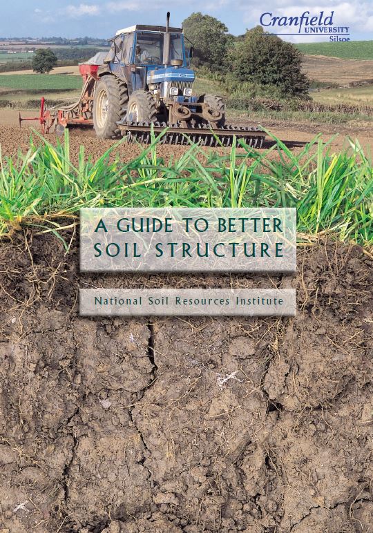
A Guide to Better Soil Structure
A popular brochure written originally by Ian Bradley (formerly of NSRI) outlining practical measures to understand and protect good soil structure.
Download
Soil Data Structures and Relationships
Description and overview of the structure of the main LandIS soil datasets and data structures.
Download
Soil Classification
Description of the soil classification scheme used in England and Wales.
Download
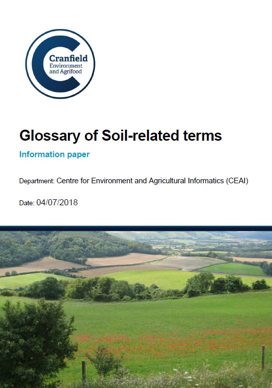

The Mapping of Landscapes, Geology and Soils of Bedfordshire and Cambridgeshire
Mapping the landscape.
Download
HOST - The Hydrology of Soil Types
A paper describing the HOST system for classifying the soils of England and Wales according to their hydrological properties.
Download
Predicting Bulk Density
A paper concerning the derivation and evaluation of a set of pedogenically-based empirical algorithms.
Download