Soilscapes
Soilscapes are an easy-to-understand classification of soils used to describe the soils of England and Wales only (a separate classification being applied in Scotland and Northern Ireland). Soilscapes conveys a summary of the broad regional differences in the soil landscapes of England and Wales. Soilscapes is not intended as a means for supporting detailed assessments, such as land planning applications or site investigations; nor should it be used to support commercial activities. For such applications, a parallel service Soils Site Reporter provides comprehensive reporting for specific locations. More detailed soil datasets are also available for lease from CEC.
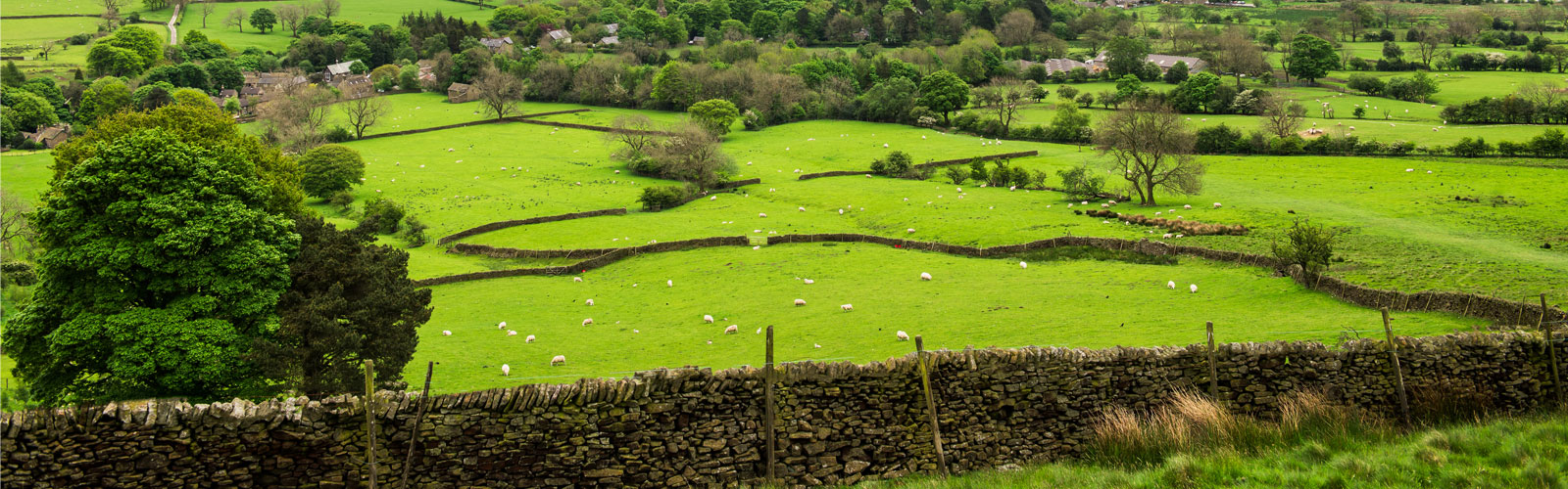
Slowly permeable seasonally wet slightly acid but base-rich loamy and clayey soils (18)
| Texture: | Loamy and clayey |
| Drainage: | Impeded drainage |
| Fertility: | Moderate |
| Land Cover: | Grassland and arable some woodland |
| Habitats: | Seasonally wet pastures and woodlands |
| Topsoil Carbon: | Low |
| Mostly Drains To: | Stream network |
| Water Protection Issues: | Main risks are associated with overland flow from compacted or poached fields. Organic slurry, dirty water, fertiliser, pathogens and fine sediment can all move in suspension or solution with overland flow or drain water |
| General Cropping Guidance: | Mostly suited to grass production for dairying or beef; some cereal production often for feed. Timeliness of stocking and fieldwork is important, and wet ground conditions should be avoided at the beginning and end of the growing season to avoid damage to soil structure. Land is tile drained and periodic moling or subsoiling will assist drainage |
Included Soil Associations
| 0711b BROCKHURST 1 |
| 0711c BROCKHURST 2 |
| 0711d MARTOCK |
| 0711e WICKHAM 1 |
| 0711f WICKHAM 2 |
| 0711g WICKHAM 3 |
| 0711h WICKHAM 4 |
| 0711i WICKHAM 5 |
| 0711j KINGSTON |
| 0711m SALOP |
| 0711n CLIFTON |
| 0711o RUFFORD |
| 0711p DUNKESWICK |
| 0711r BECCLES 1 |
| 0711s BECCLES 2 |
| 0711t BECCLES 3 |
| 0711u HOLDERNESS |
| 0712b DENCHWORTH |
| 0712c WINDSOR |
| 0712f CREWE |
| 0712g RAGDALE |
| 0712h FOGGATHORPE 1 |
| 0712i FOGGATHORPE 2 |
| 0714c OAK 2 |
All information Copyright, Cranfield University © 2024
Citation: To use information from this web resource in your work, please cite this as follows:
Cranfield University 2024. The Soils Guide. Available: www.landis.org.uk. Cranfield University, UK. Last accessed 26/04/2024
